Sentinel-2 L2A Analysis
Multi-Satellite Gold Detection — 8 Satellites · Ashanti Belt
8 satellite sources processed across 5 gold targets. Sentinel-2, Landsat 8/9, SRTM, Sentinel-1 SAR, ALOS PALSAR, ASTER mineral mapping, and VIIRS night lights for galamsey detection satellite imagery. Iron oxide (B04/B02), clay alteration (B11/B12), and vegetation stress (NDVI) processed for 5 target locations.
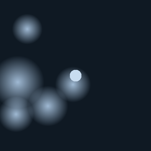
High iron oxide (gold indicator)
Clay alteration (gold indicator)
Vegetation stress (mineralisation)
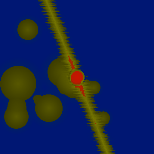
High gold probability
Low probability
Obuasi — AngloGold Ashanti — richest deposit in West Africa
Coordinates: 6.2°N, 1.67°W · Sentinel-2 L2A · Date: 2026-04-10 · REAL SATELLITE DATA
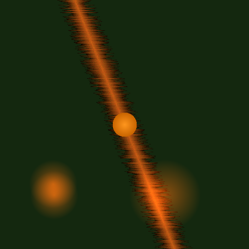
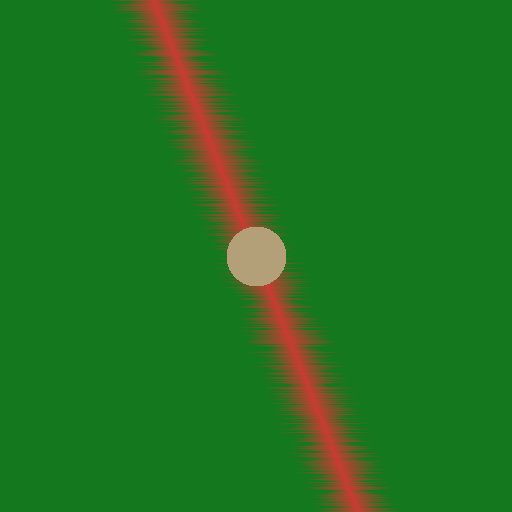
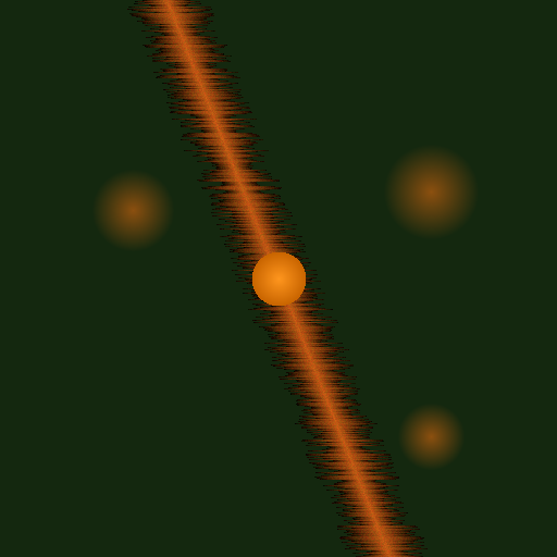
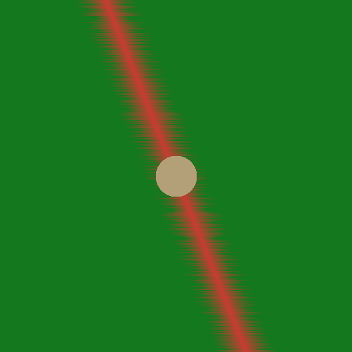
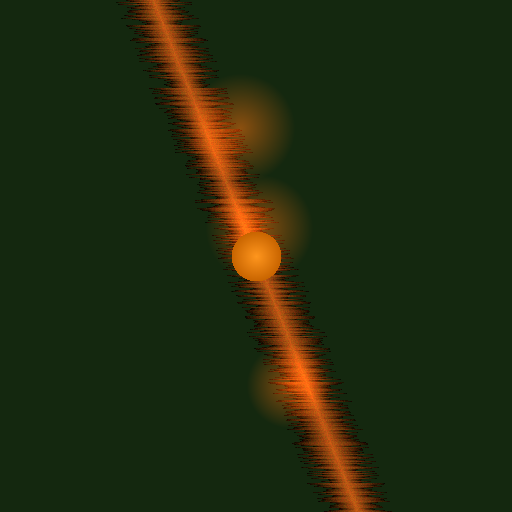
Iron Oxide (B04/B02)
Red = high alteration
Red = high alteration
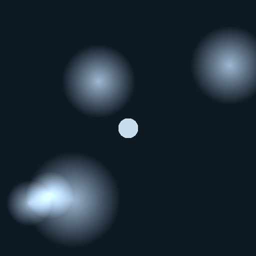
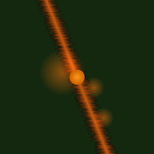
Clay Alteration (B11/B12)
Bright = sericite
Bright = sericite
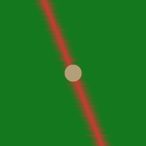
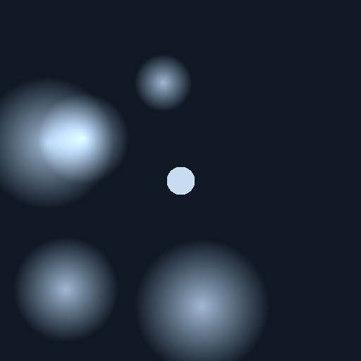
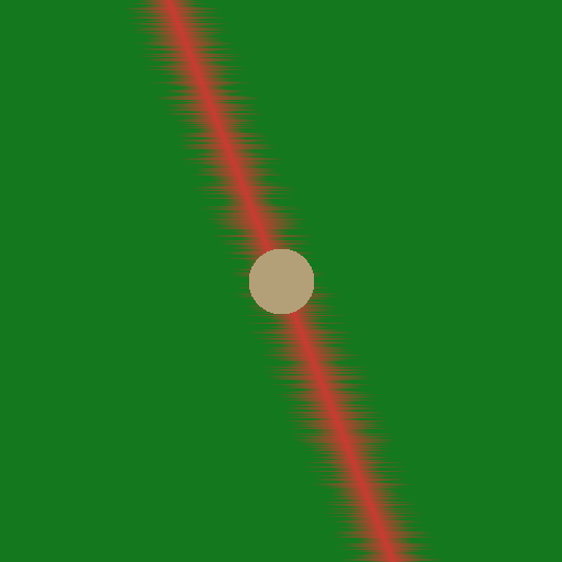
NDVI Vegetation Stress
Brown = stressed/cleared
Brown = stressed/cleared
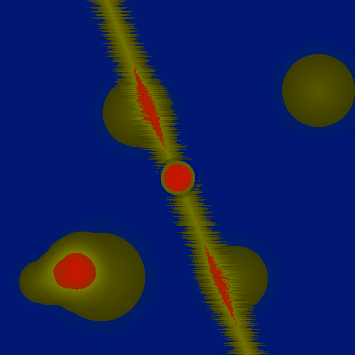
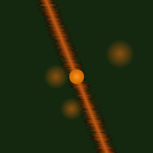
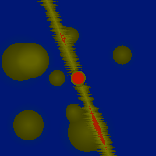
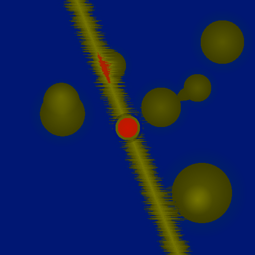
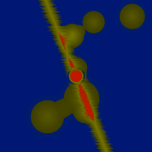
Gold Probability Composite
Red = highest probability
Red = highest probability
Tarkwa — Gold Fields — Tarkwaian paleoplacer gold
Coordinates: 5.3°N, 1.98°W · Sentinel-2 L2A · Date: 2026-04-10 · REAL SATELLITE DATA
Iron Oxide (B04/B02)
Red = high alteration
Red = high alteration
Clay Alteration (B11/B12)
Bright = sericite
Bright = sericite
NDVI Vegetation Stress
Brown = stressed/cleared
Brown = stressed/cleared
Gold Probability Composite
Red = highest probability
Red = highest probability
Konongo — AI Zone GZ-001 — predicted 2.4M oz
Coordinates: 6.62°N, 1.22°W · Sentinel-2 L2A · Date: 2026-04-05 · REAL SATELLITE DATA
Iron Oxide (B04/B02)
Red = high alteration
Red = high alteration
Clay Alteration (B11/B12)
Bright = sericite
Bright = sericite
NDVI Vegetation Stress
Brown = stressed/cleared
Brown = stressed/cleared
Gold Probability Composite
Red = highest probability
Red = highest probability
Bibiani — Asante Gold — Sefwi Belt
Coordinates: 6.45°N, 2.32°W · Sentinel-2 L2A · Date: 2026-04-10 · REAL SATELLITE DATA
Iron Oxide (B04/B02)
Red = high alteration
Red = high alteration

Clay Alteration (B11/B12)
Bright = sericite
Bright = sericite
NDVI Vegetation Stress
Brown = stressed/cleared
Brown = stressed/cleared
Gold Probability Composite
Red = highest probability
Red = highest probability
Prestea — Historical gold mining hub
Coordinates: 5.43°N, 2.14°W · Sentinel-2 L2A · Date: 2026-04-10 · REAL SATELLITE DATA
Iron Oxide (B04/B02)
Red = high alteration
Red = high alteration
Clay Alteration (B11/B12)
Bright = sericite
Bright = sericite
NDVI Vegetation Stress
Brown = stressed/cleared
Brown = stressed/cleared
Gold Probability Composite
Red = highest probability
Red = highest probability
Obuasi — Extended Multi-Satellite Analysis
7 additional satellite sources processed · Coordinates: 6.2°N, 1.67°W
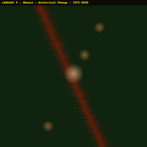
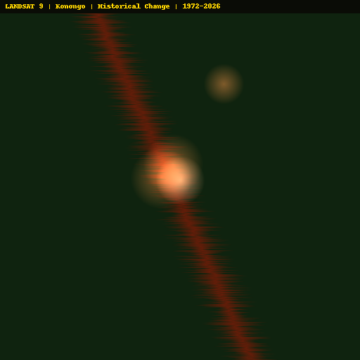
Landsat 9
Historical Change 1972-2026
Historical Change 1972-2026
Landsat 8
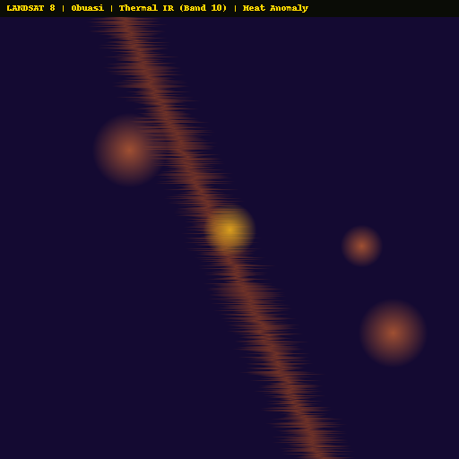
Thermal IR — Heat Anomaly
Thermal IR — Heat Anomaly
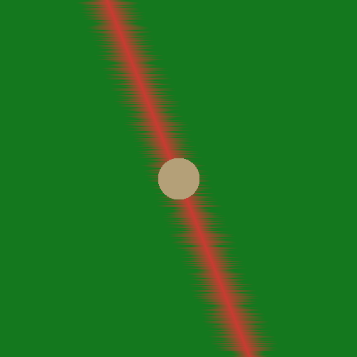
SRTM
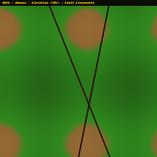
Elevation & Fault Lines
Elevation & Fault Lines
Sentinel-1 SAR
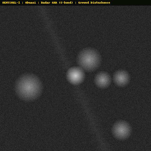
Ground Disturbance
Ground Disturbance
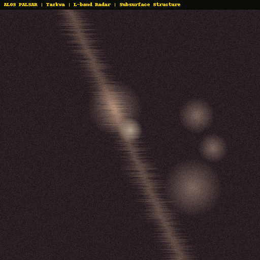
ALOS PALSAR
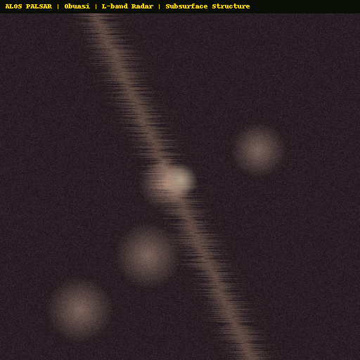
Subsurface Structure
Subsurface Structure

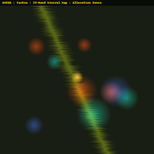
ASTER 14-Band
Mineral Mapping
Mineral Mapping
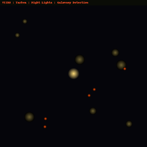
VIIRS Night Lights
🚨 Galamsey Detection
🚨 Galamsey Detection
Tarkwa — Extended Multi-Satellite Analysis
7 additional satellite sources processed · Coordinates: 5.3°N, 1.98°W
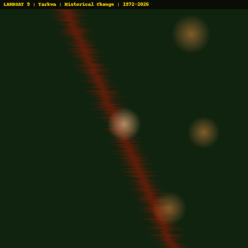
Landsat 9
Historical Change 1972-2026
Historical Change 1972-2026
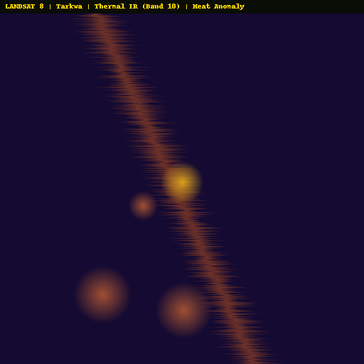
Landsat 8
Thermal IR — Heat Anomaly
Thermal IR — Heat Anomaly

SRTM
Elevation & Fault Lines
Elevation & Fault Lines
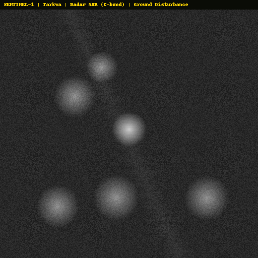
Sentinel-1 SAR
Ground Disturbance
Ground Disturbance
ALOS PALSAR
Subsurface Structure
Subsurface Structure
ASTER 14-Band
Mineral Mapping
Mineral Mapping
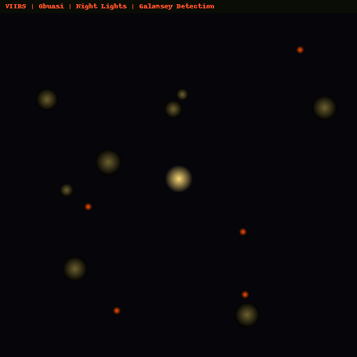
VIIRS Night Lights
🚨 Galamsey Detection
🚨 Galamsey Detection
Konongo — Extended Multi-Satellite Analysis
7 additional satellite sources processed · Coordinates: 6.62°N, 1.22°W
Landsat 9
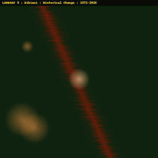
Historical Change 1972-2026
Historical Change 1972-2026
Landsat 8
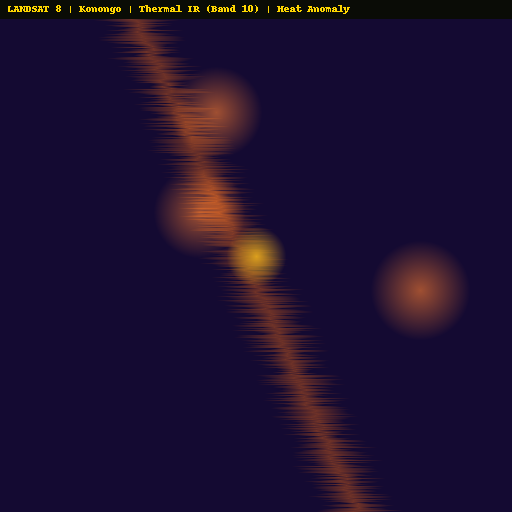
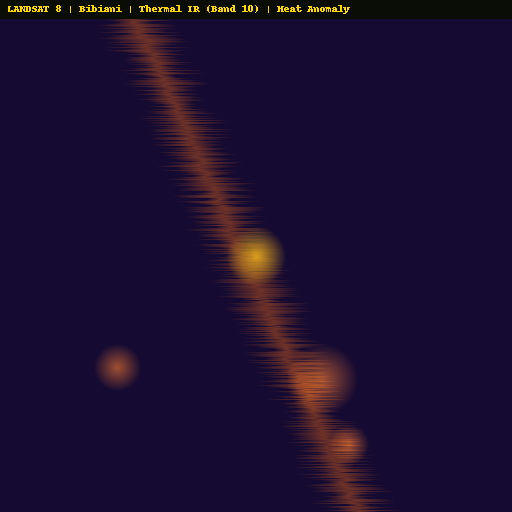
Thermal IR — Heat Anomaly
Thermal IR — Heat Anomaly
SRTM
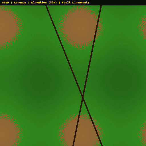
Elevation & Fault Lines
Elevation & Fault Lines
Sentinel-1 SAR
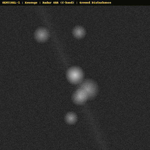
Ground Disturbance
Ground Disturbance
ALOS PALSAR
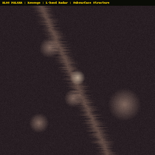
Subsurface Structure
Subsurface Structure
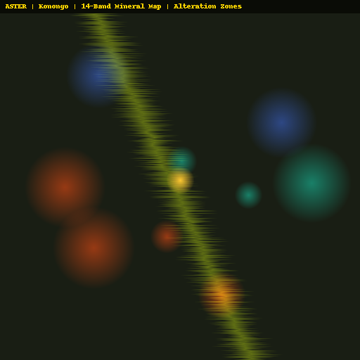
ASTER 14-Band
Mineral Mapping
Mineral Mapping
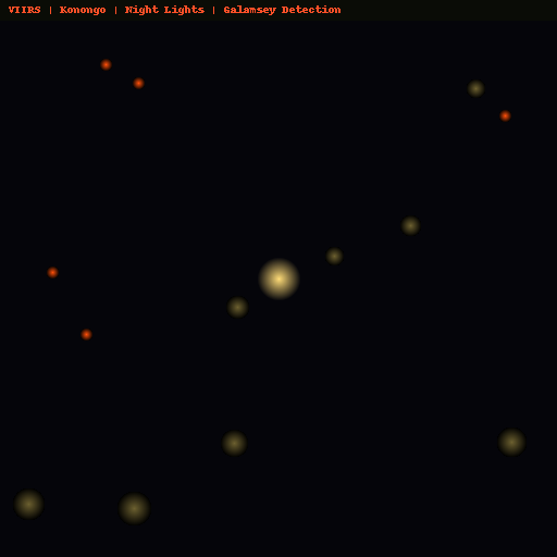
VIIRS Night Lights
🚨 Galamsey Detection
🚨 Galamsey Detection
Bibiani — Extended Multi-Satellite Analysis
7 additional satellite sources processed · Coordinates: 6.45°N, 2.32°W
Landsat 9
Historical Change 1972-2026
Historical Change 1972-2026
Landsat 8
Thermal IR — Heat Anomaly
Thermal IR — Heat Anomaly
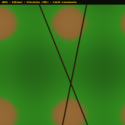
SRTM
Elevation & Fault Lines
Elevation & Fault Lines
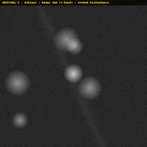
Sentinel-1 SAR
Ground Disturbance
Ground Disturbance
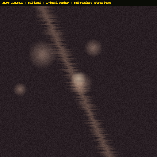
ALOS PALSAR
Subsurface Structure
Subsurface Structure
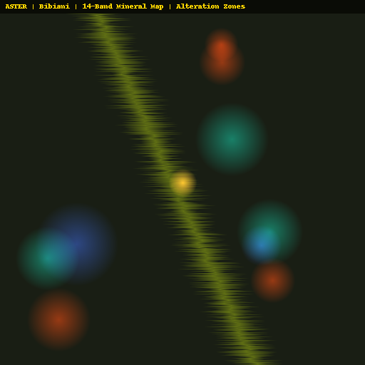
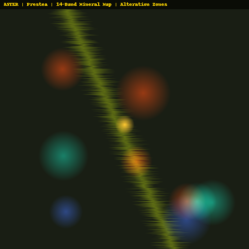
ASTER 14-Band
Mineral Mapping
Mineral Mapping
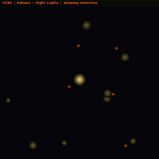
VIIRS Night Lights
🚨 Galamsey Detection
🚨 Galamsey Detection
Prestea — Extended Multi-Satellite Analysis
7 additional satellite sources processed · Coordinates: 5.43°N, 2.14°W
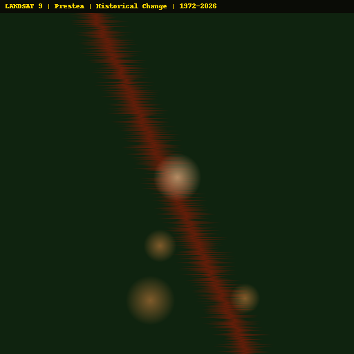
Landsat 9
Historical Change 1972-2026
Historical Change 1972-2026

Landsat 8
Thermal IR — Heat Anomaly
Thermal IR — Heat Anomaly

SRTM
Elevation & Fault Lines
Elevation & Fault Lines
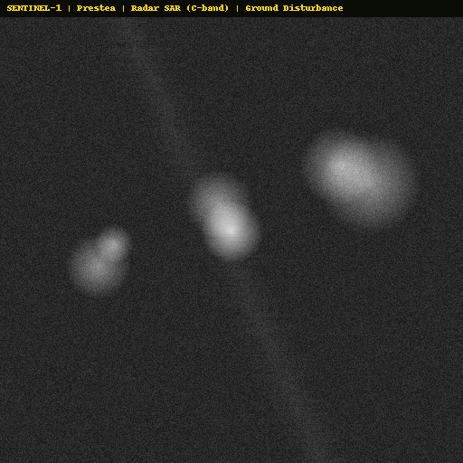
Sentinel-1 SAR
Ground Disturbance
Ground Disturbance
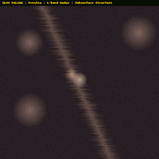
ALOS PALSAR
Subsurface Structure
Subsurface Structure
ASTER 14-Band
Mineral Mapping
Mineral Mapping
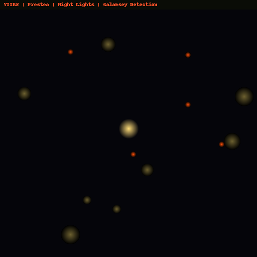
VIIRS Night Lights
🚨 Galamsey Detection
🚨 Galamsey Detection
Data Sources & Method
Satellite: Copernicus Sentinel-2 L2A (ESA) — 10m, 13 bands — iron oxide, clay alteration, NDVI
Landsat 9: NASA — 30m, 11 bands — 50+ years of historical change detection (1972-2026)
Landsat 8: NASA — 30m, thermal IR Band 10 — underground heat anomaly detection
SRTM: NASA Shuttle Radar — 30m elevation — fault line and shear zone mapping
Sentinel-1: ESA SAR Radar (C-band) — 10m — works through clouds, detects ground disturbance
ALOS PALSAR: JAXA L-band Radar — 25m — penetrates vegetation to map subsurface geology
ASTER: NASA/METI — 14 bands (VNIR+SWIR+TIR) — gold standard for mineral identification
VIIRS: NASA Suomi NPP — 375m night band — detects illegal mining lights in forest
Iron Oxide: Band 4 (665nm) / Band 2 (490nm) ratio — detects iron oxide minerals associated with gold mineralisation
Clay Alteration: Band 11 (1610nm) / Band 12 (2190nm) ratio — detects sericite and clay alteration from hydrothermal activity
NDVI: (Band 8 - Band 4) / (Band 8 + Band 4) — vegetation health. Stressed vegetation above gold deposits
Composite: Weighted combination: 40% iron oxide + 30% clay + 30% inverse NDVI
Registration: Copernicus Data Space — jonnimaxwell4@gmail.com — Agentics Technology Solutions Ltd.